Land surveying is the process of measuring and mapping the surface of the Earth to define property boundaries, topography, and features. A licensed surveyor typically performs land surveys, ensuring accuracy in determining the shape, size, and borders of a given area.
The survey process involves the following key elements:
Land survey calculations serve a variety of purposes, such as:
Land surveys can be categorized in two primary sectors:
This classification is based on various factors such as instruments, methods, objects, and the nature of fields. It includes:
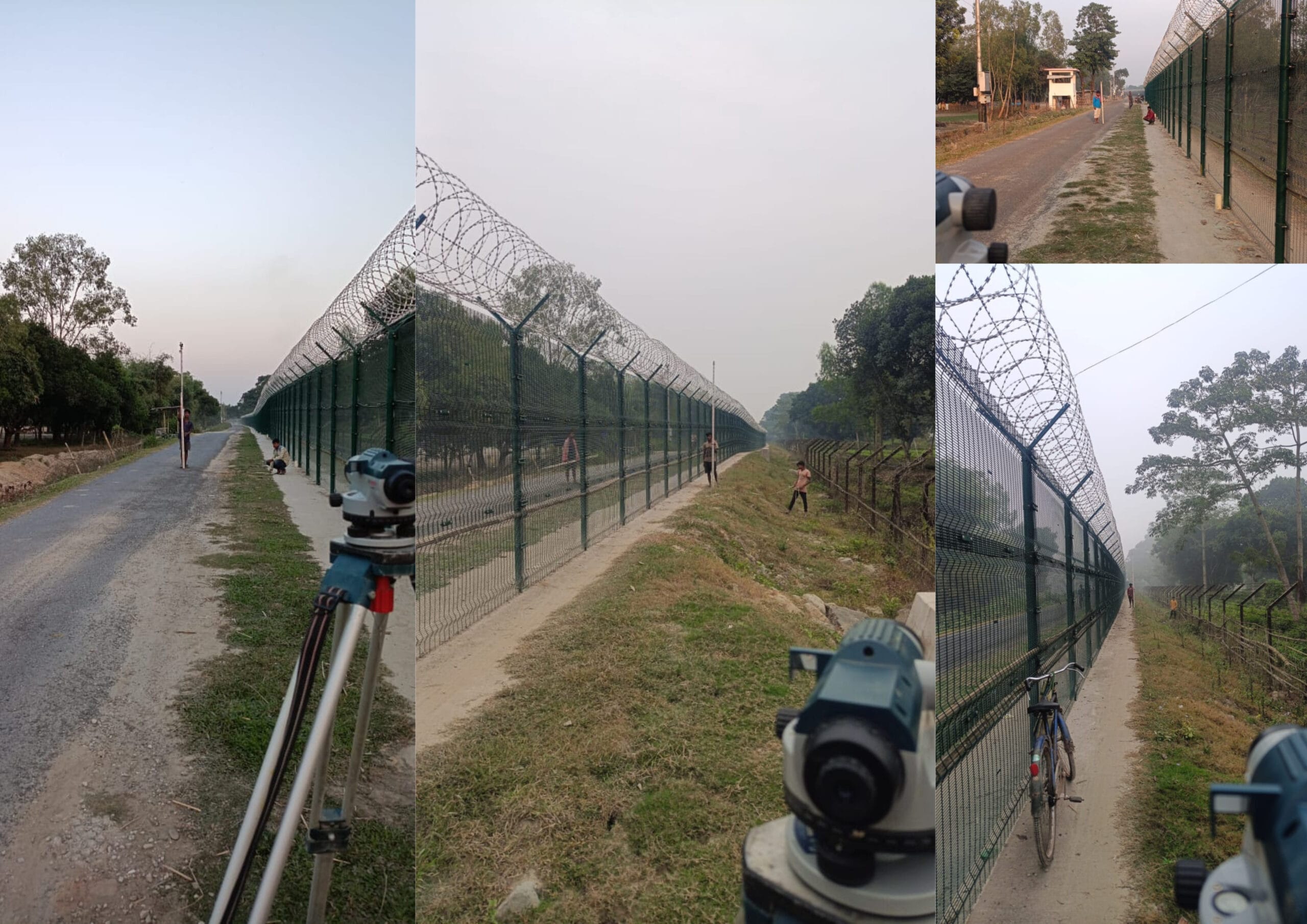
In West Bengal, particularly Siliguri, there are many land survey company providing a range of services. Among them, Elite Blueprints Consultancy stands out for its reputation, quality of work, and excellent client coordination.
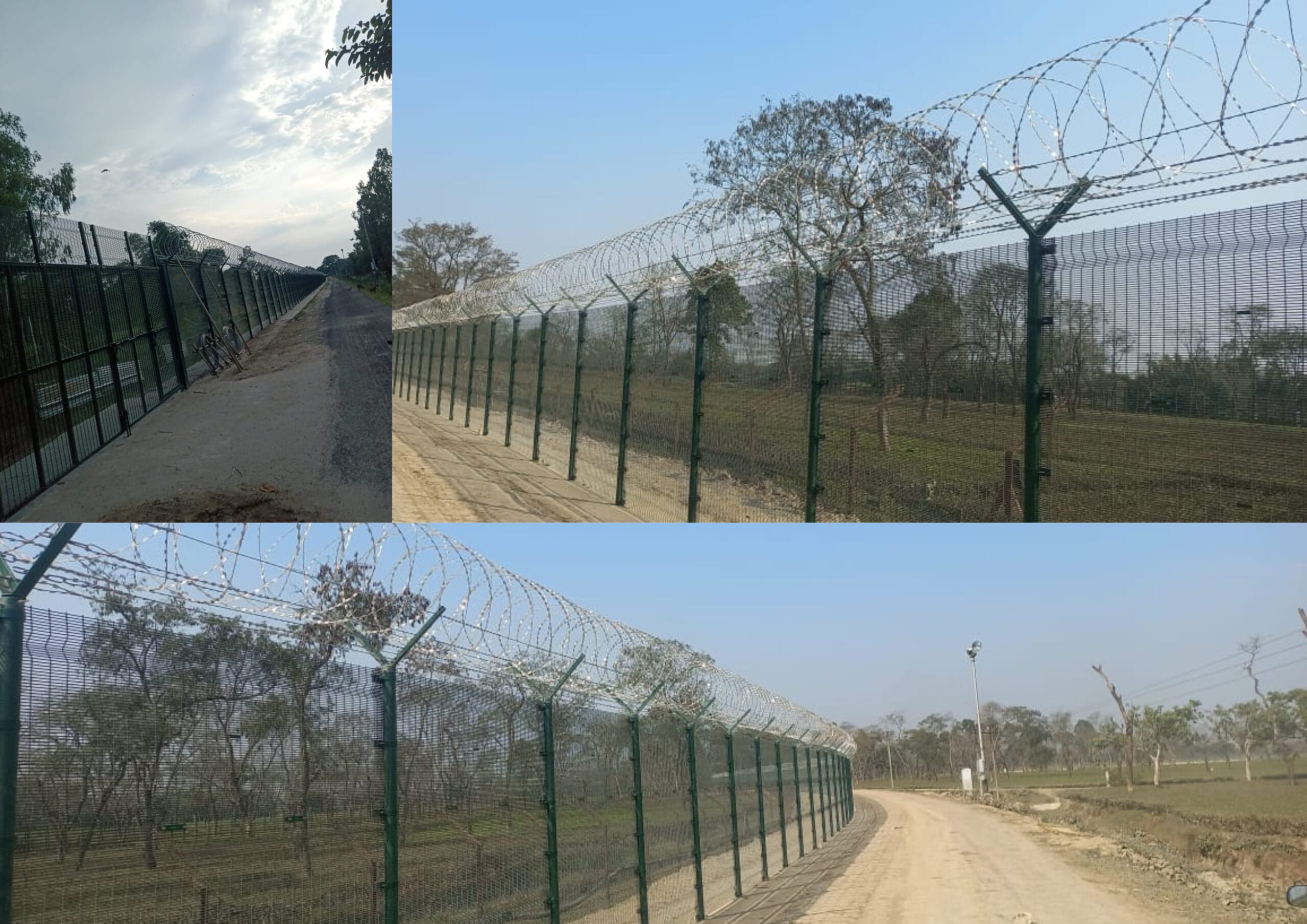
Our experienced engineers and surveyors use cutting-edge tools like Total Station and DGPS for boundary surveys, topographic mapping, and other survey needs.
A land survey plan is a detailed drawing that accurately represents the specifications, measurements, and boundaries of a property. This plan is crucial for understanding existing structures, property lines, natural features, and zoning classifications.
Key aspects of creating a land survey plan include:
A skilled surveyor uses tools like Total Station and GIS technology to produce precise representations of the land.
At Elite Blueprints Consultancy, we offer comprehensive land survey services, including:
Our expert surveyors use modern tools such as Total Station, DGPS, and Drones to ensure the accuracy and efficiency of each project.

Contact us today to learn more about our land survey services and how we can assist with your next project.